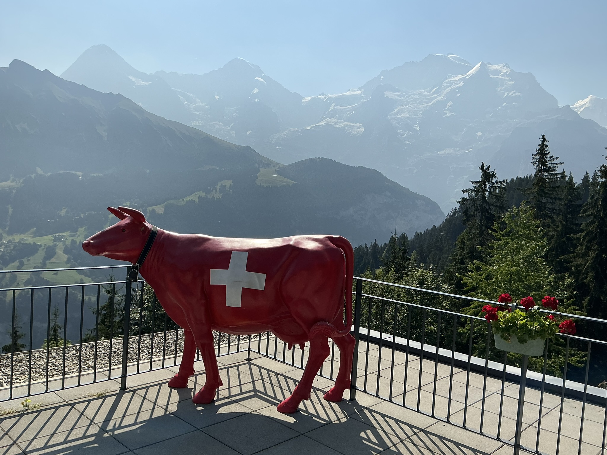
Day at a Glance
The Journey
From Lauterbrunnen, I transferred to the cable car heading to Grütschalp, which was included in my day ticket. The cable car was very full of tourists, but surprisingly few continued on foot. Once I started hiking, the crowds quickly disappeared — exactly the peace and quiet I was hoping for.
Grütschalp to Mürren — the Panorama Walk
The walk from Grütschalp toward Winteregg was wide and gently uphill. The Eiger, Mönch and Jungfrau stayed in view on the left side of the trail, creating a magnificent backdrop almost the entire way. I met only a few hikers coming back down from Mürren toward Winteregg.
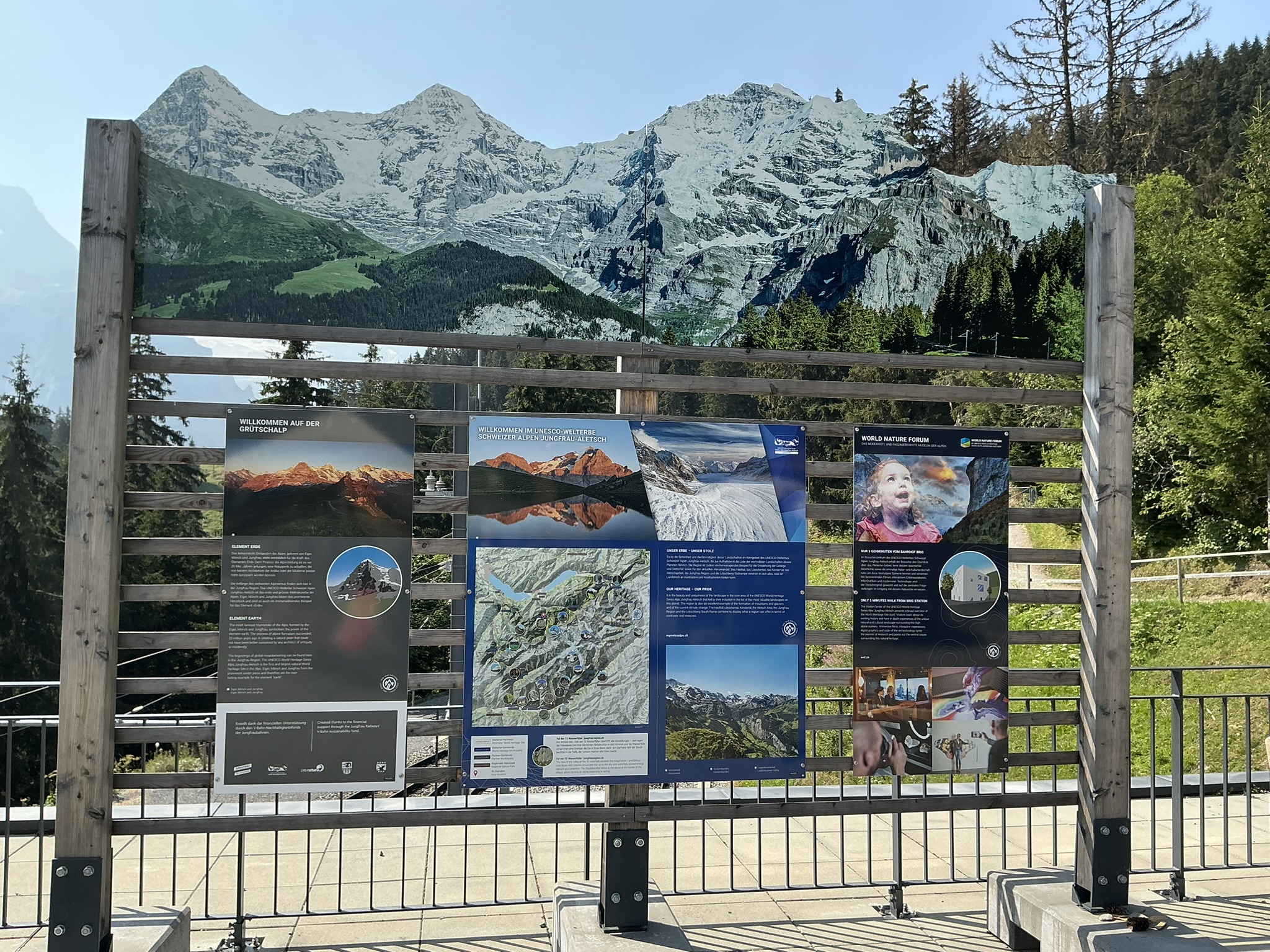
Mürren — a Busy Mountain Village
When I reached Mürren, the village was full of tourists. It was nevertheless a pleasant place to stop for a picnic lunch before continuing downhill.
Gimmelwald — Quieter, with a Personal Memory
Gimmelwald felt noticeably quieter. I spotted the old Walter's Hotel, which was due for renovation by its new owners. Many years ago, my husband and I stayed here with a couple of friends while Walter was still alive. Seeing the hotel again brought back a very personal memory.
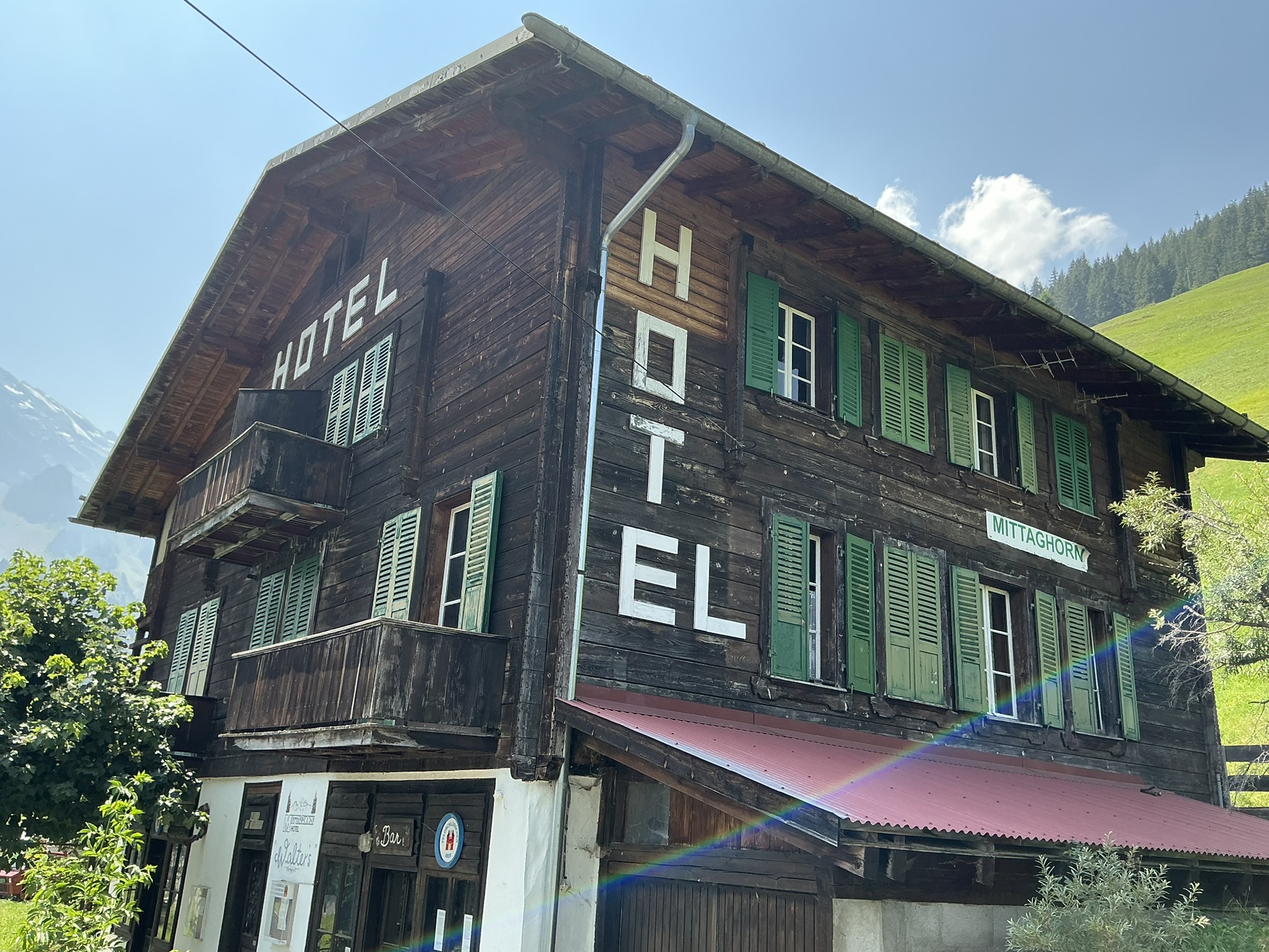
I Decided to Keep Walking
Instead of ending my walk in Gimmelwald and taking the cable car down, I decided to continue on foot all the way to the valley. The character of the hike changed immediately. The trail became steep and entered deep forest beneath tall trees.
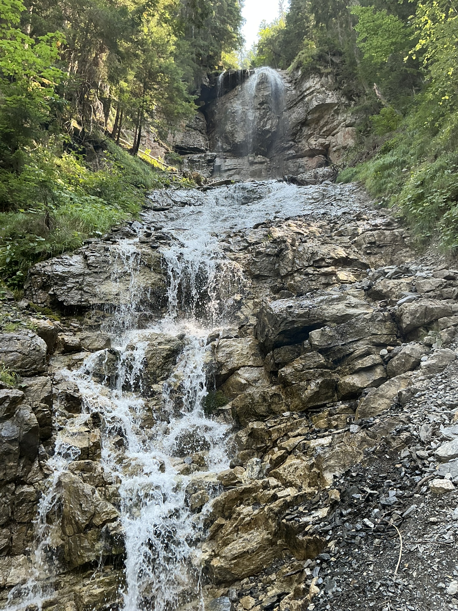
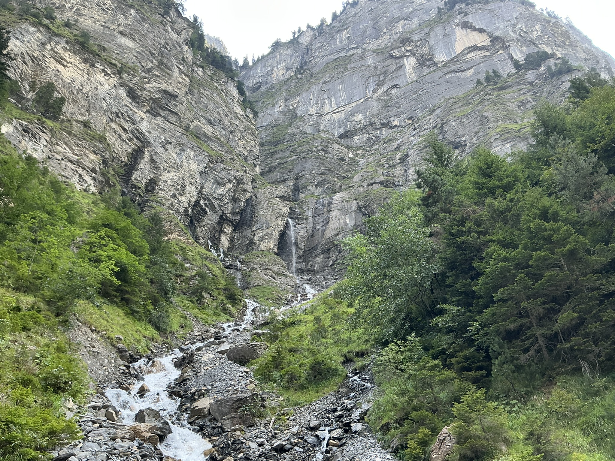
Streams and waterfalls accompanied the descent. This section was busier than my ascent, with people hiking both uphill and downhill. It was steep, but rewarding.
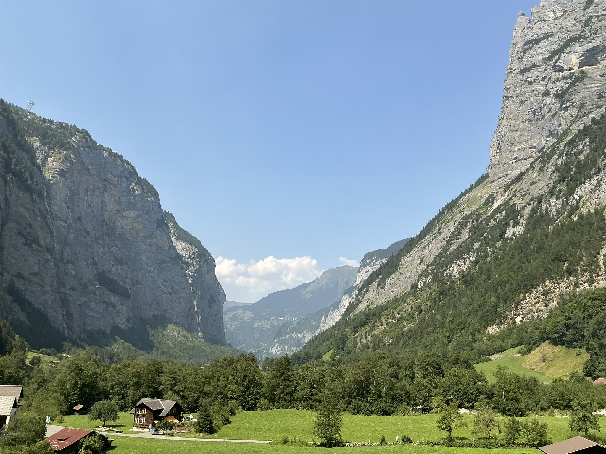
Reaching Stechelberg
Eventually I reached the Lauterbrunnen Valley at Stechelberg. From there it was only a short walk to the bus stop, where I caught the 15:31 bus from Stechelberg, Post.
Sources & Useful Links
- Switzerland Tourism — Grütschalp–Mürren Trail — official information for the panoramic first section via Winteregg.
- Switzerland Tourism — Mürren & Gimmelwald — destination information.
- Wikiloc — Mürren–Gimmelwald–Stechelberg–Lauterbrunnen — covers the downhill direction; my hike ended at Stechelberg.
Hike at a Glance
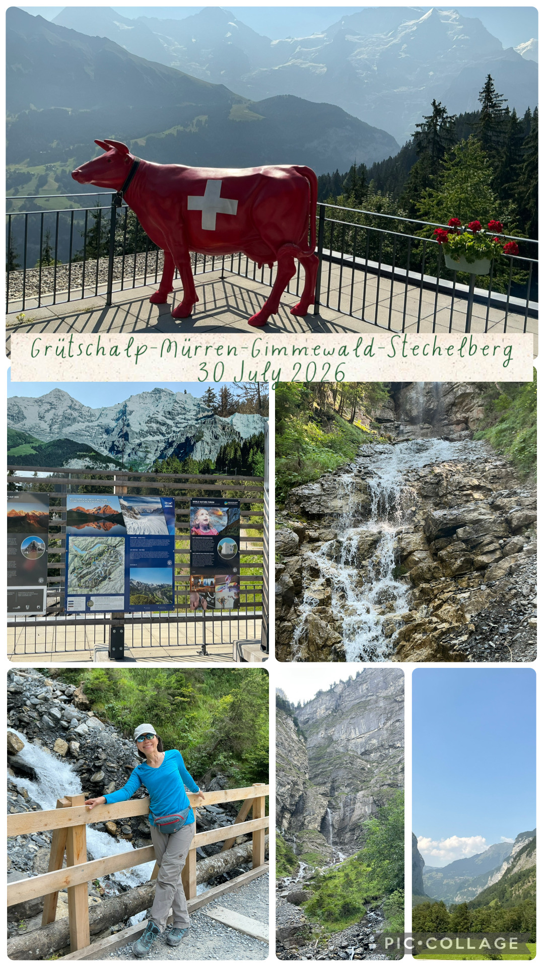
My original collage from 30 July 2026.